Mount Shasta and Crater Lake

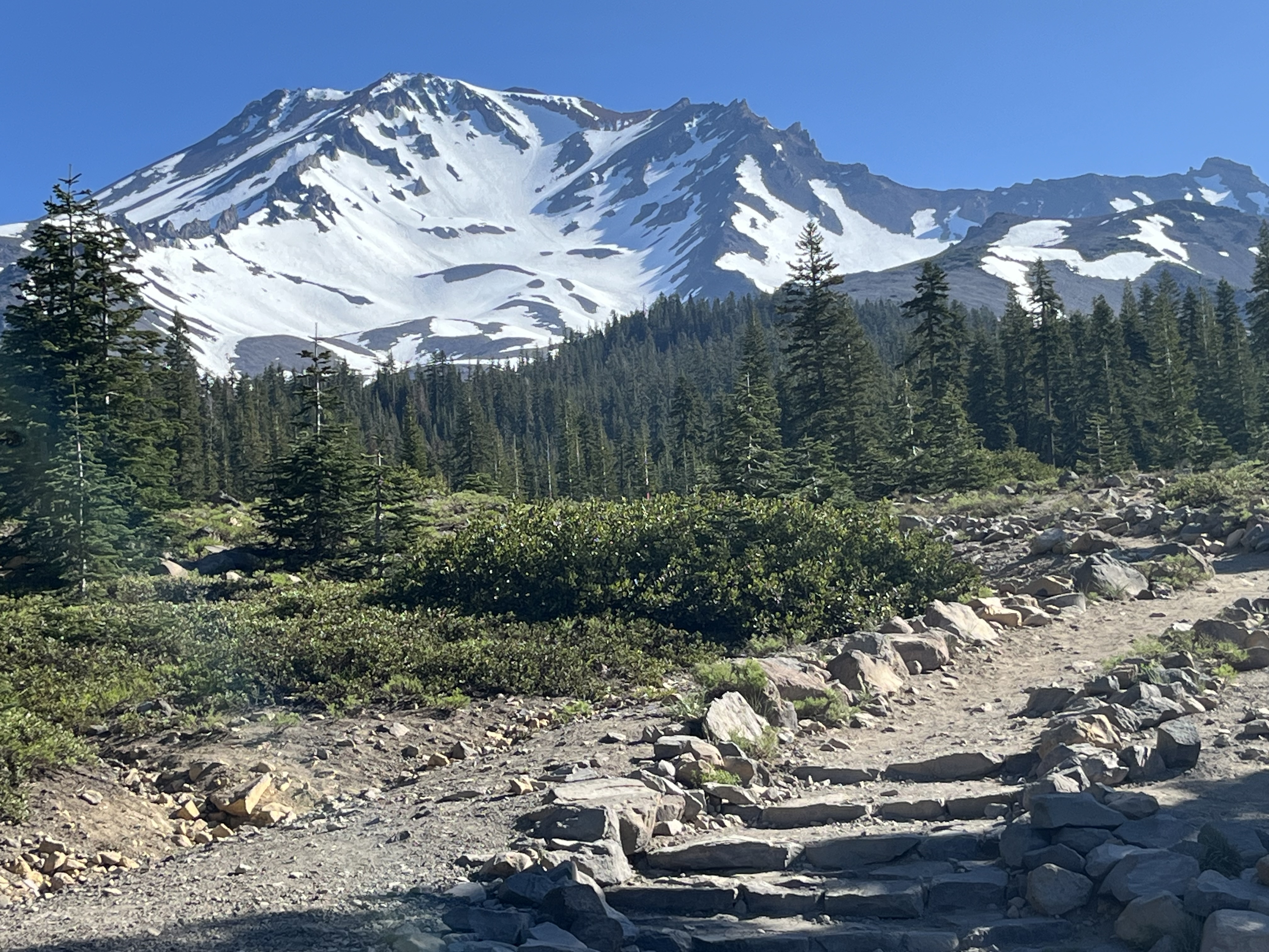
In which Moominmama hikes the PCT (3 miles of it) and views (for now) dormant volcanos... Mount Shasta, pictured above, dominates the skyline in northern California. Apparently, it can be seen as far as Redding to the south, and Moominmama saw it faintly on the horizon from Crater Lake to the north. Driving in California, the mountain has a way of popping up over the pines as you turn a corner, and in many spots, it towers over the landscape like here at Siskiyou Lake beach. At 14,179 feet, it has a lot of presence! Unlike the granite peaks of Castle Crags or the sedimentary rock of the nearby Klamath Mountains this is a dormant stratovolcano. One of Moominmama's favorite hikes this week was along the southeastern flank of Mount Shasta, a hike that took her up to tree line, where the volcanic rock is still plainly visible despite the snow. The most recent confirmed eruption dates back 3,500 years, but Shasta is part of the so-called "Ring of Fire" that follows the edg...


