Moominmama Goes for a Hike
Wherein Moominmama laces up her hiking boots and explores the diversity of Arizona's eastern trails...
Having made it safely down to the lowlands near Phoenix, Moominmama's first major hike was actually a step backwards and upwards to the Mogollon Rim, a 200-mile escarpment that runs along the east of Arizona, an area I'd crossed with my trailer on the way down to the Superstition Mountains.
Arizona has immense public lands with the Tonto National Forest at about 2.9 million acres and the adjacent Coconino National Forest with another 1.86 million acres. The Superstition Wilderness abuts the Tonto, with 160,000 acres.
That's just some of the parkland available on the eastern side of the state, best know for the Grand Canyon National Park in the northwest (1.2 million acres). The White Mountains of New Hampshire and Maine are puny in comparison, coming in at roughly 800,000 acres total. (New York fares better with its 6-million-acre Adirondack Park.)
The Rim Country, with its higher elevation, has become a playground for the heavily populated Phoenix area and has long been a place to escape the summer heat (not yet arrived.) There is evidence of long occupation by Apache, Yavapai and ancient Puebloan people who left artifacts that date back 10,000 years ago.
To hike the Bob Bear-to-Fossil Creek trail near the Tonto/Coconino border, I needed a permit so the park service didn't end up with a jammed-up parking lot. But April is early in the season, and I ended up as only one of four cars and maybe eight hikers that day.
The entrance has large posted warnings telling you to bring plenty of water, to prepare for difficult terrain and reporting as many as 200 rescues a year on this trail. In particular, the sign advises: no flipflops!
It is a rocky descent of four miles and 1,500 feet to Fossil Creek and the waterfall pictured here. (No problem for anyone who's been hiking in the White Mountains!)
One hiker that Moominmama met had been hoping to swim below the falls -- one of the reasons the trail is so popular -- but the volume and force of the water made that inadvisable. He had wanted to explore the watery cave on the other side of this tree, but we settled for taking pictures.
The hike back is where the real exercise started, because by then, the sun was high in the sky, and the trip was all uphill and with little shade. I was glad to have plenty of water and sturdy boots.
Apart from the creek, where these tiny tulips bloomed, the Tonto and Coconino landscape remains mostly arid, with juniper and small pine trees instead of saguaros. Prickly pear cactus, however, seem to thrive at both high and low elevations so they were plentiful in either location.
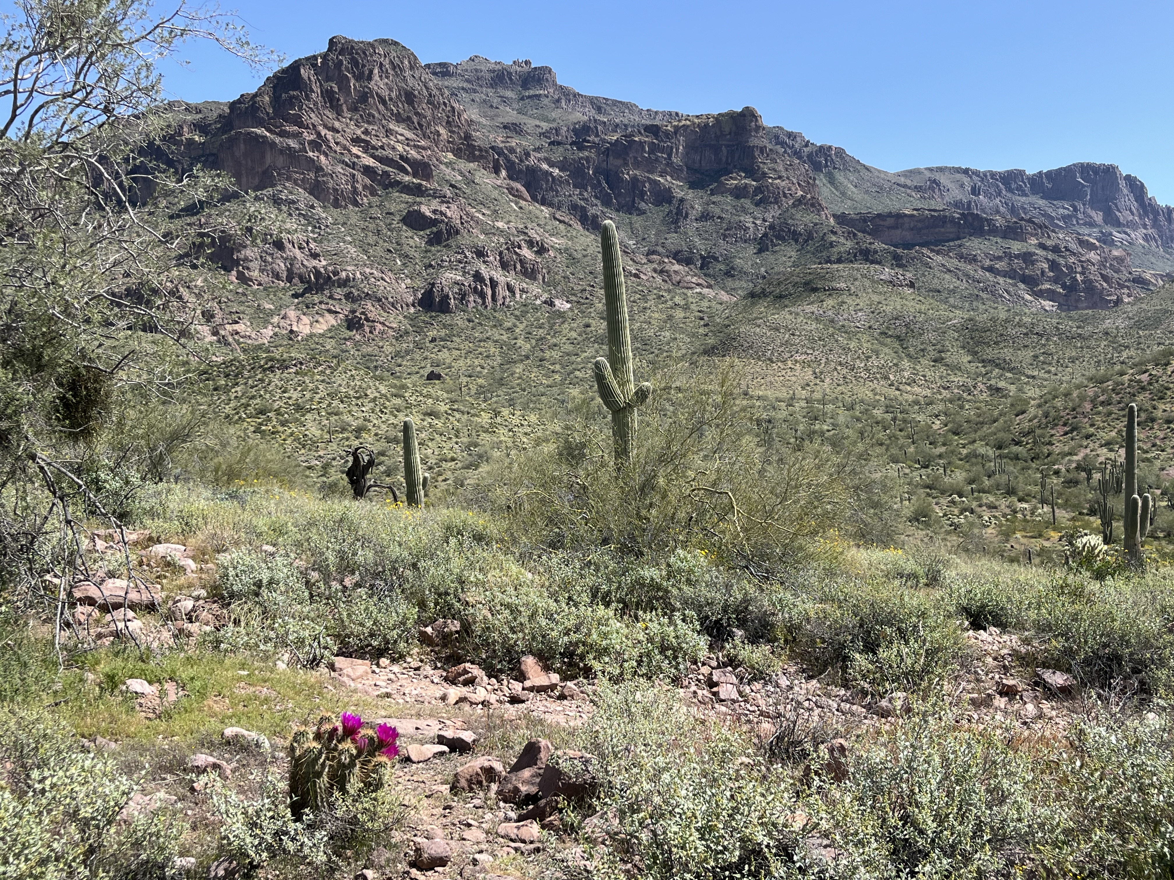
Moominmama headed closer to home for her next hike, which took her to the opposite side of the Superstition Mountains' great cliff face where there's a more gentle incline, pictured in the photo at the top.
This is how many of the prospectors made it into the mountains, where the "Lost Dutchman" allegedly found his treasure of gold, then died before he could return. More on that legend here!
This was a trail in the Gold Canyon area called Hieroglyphic Canyon that led to a wall of petroglyphs -- and a bit of a surprise. The heavy rains have created a little waterfall up this canyon. A local hiker says it is normally barely a trickle.
The drawings scratched into the "rock varnish" on one side are believed to be those of the Hohokam people who lived in the area about 1,500 years ago. There's an entire wall of drawings, one on top of another.
The meaning of many of the symbols has been lost to time, though some are clearly representations of people and animals. There are also parallel squiggles, a spiral and Moominmama's personal favorite: a funny little balloon with two eyes on a string.
Moominmama enjoyed getting up close to the petroglyphs but was sorry her friends Connie and Roxi weren't able to come along. One of the big surprises of my stay in Lost Dutchman State Park so far was running into a woman and her dog I'd first met last year at Organ Pipe Cactus National Park. Connie is from Ketchikan, Alaska, and we'd met up there briefly later that summer on the Alaska leg of my trip!
To see her out walking Roxi after I arrived came as a sudden and wonderful surprise for both of us, and we spent a day hanging out and catching up. She left for Grand Canyon so I did this Petroglyph hike on my own.
But as you can tell below, I had a grand time! That little waterfall, with some nice rocks to sit on in the water, made for a cooling break before heading back down the trail!


.jpg)


Comments
Post a Comment