Coeur d'Alene and the Idaho Panhandle

Wherein Moominmama hits the waters of the Coeur d'Alene basin and gets a shock when she learns about its lingering pollution...
Moominmama dropped down the chimney that is northern Idaho after crossing from Kootenay National Park in Canada. Her license plate caused momentary confusion to a border guard who didn't recognize New Hampshire's Live Free or Die logo. She knows she is far from home!
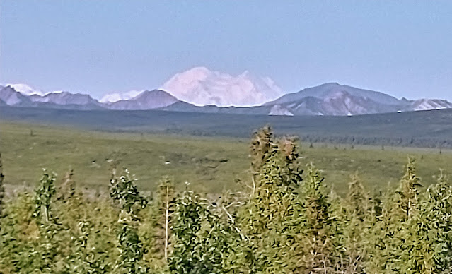
With a population just over 58,000 people, Coeur d'Alene is one of the fastest growing cities in Idaho. One of its main attractions is the Coeur d'Alene Lake: 25 miles long, with a plethora of bays and a shoreline of over 100 miles thanks to a former glacier. This means the city and the communities around it are very much oriented to the water.

This whole area was shaped by glaciers. The Coeur d'Alene River became part of an ice sheet 9,000 to 12,000 years ago, and when the glacier receded it left debris at its terminus that effectively dammed the river, creating the lake.
Moominmama is staying at a campground in the Idaho Panhandle National Forest south of the city and on the lake, enjoying a daily swim and exploring the trails and waterways. Since the Coeur d'Alene River enters the lake in nearby Harrison, Moominmama rented a kayak there and took it up the river, where the channel connects to the big lake but also several smaller ones upriver.

Other information also suggested I wasn't in the healthiest place. A sign at the marina in Harrison warned me to be cautious of heavy metal contamination in both the soil and the water of the entire basin!
And sure enough, this area has a long history of mining, with the waste products drained into the rivers and streams that feed the lake. There have been recent remediation efforts, but the warning still stands: "The soils and sediments in this area contain harmful levels of lead, arsenic, and other heavy metals."
Visitors are instructed to wash their hands before eating, avoid picnicking directly on the ground, and to wash pets, toys, boats and camping equipment when you get home. I've had second thoughts about my daily swim! But the area here is beautiful, and it's sad we've left it so polluted.
But my time here is relatively short, and I head both south and west with plans to spend a few days on the western side of the Tetons. Hopefully the air, soil and water is safer there, but there are no guarantees. I leave you with a photo I took of a home along the river. Imagine that as your front porch!


Swim but don’t swallow the water!
ReplyDelete